Scouting apps are indispensable tools for photographers that need to find the optimal location and timing for their sessions. These apps provide relevant information, such as lighting conditions, weather forecasts and geographical data and can be used for all situations that require available light, including landscape, aerial, architectural and night sky photography. Their use is not limited to just exterior photography, determining the lighting conditions for interior photography is also a viable use case.
Implementing redundancy layers like downloading resources for offline use, keeping a charged external battery at hand and taking notes regarding parameters is very useful, as is researching location accessibility, local laws and the requirement for permits or permissions.
The following examples describe available features and use cases for some scouting and planning apps.
Table of contents
The Photographer’s Ephemeris (TPE)
When map-based planning is needed, The Photographer’s Ephemeris is one of the most recommended solutions, offering a web interface and an iOS app to determine the sun and moon’s position at any time.
The map overlay using OpenStreetMap provides detailed information of topographic data, while a paid subscription enables the use of 3D terrain and satellite maps. Information regarding daylight phases and a slider for timeframe control are accessible in the lower part of the interface, as well as the altitude of the sun and moon during that timeframe.
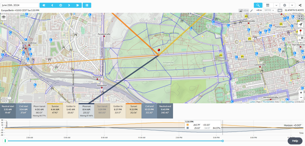
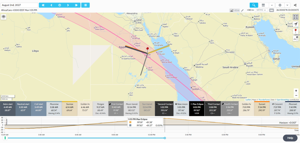
A special section of TPE is dedicated to solar and lunar events, such as eclipses. The map and timeframe selector facilitate planning for such an occasion.
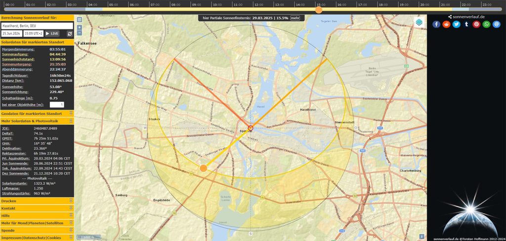
An alternative to TPE is the German website Sonnenverlauf, which was originally built to help determining important factors regarding the installation of solar panels, but can also be helpful when it comes to the sun’s position during the day and across the year. This utility is especially useful in setting up a long exposure photograph using a pinhole camera over an extended period of time.
Shadowmap
Developed in Austria, ShadowMap uses accurate 3D models and terrain to visualize sunlight and shadows. Their complete tech stack is more complex than that, catering to architects, urban planners and solar panel developers, but part of it can also be used for aerial, architectural, documentary and landscape photography purposes.
The ability to precisely simulate outdoor scenes is a huge advantage, giving an extra degree of flexibility and preparation, even while using their free tier. One non-conventional use case for this app is for interior photography, by seeing which side of the building is illuminated at any time, the photographer can calculate to which degree the rooms are naturally lit.
PhotoPills
Available for iOS and Android, PhotoPills is a comprehensive app with various tools, including planners, sun and moon position, and daylight information. Planning a shoot is made easier by an accessible user interface with customization options, allowing the photographer to add notes and images to their planned session.
Based around modular sections, it enables the photographer to easily set up complex shooting parameters and contains useful charts, tables and calculators, such as an exposure calculator for ND filters, depth of field and hyperfocal tables, up-to-date meteor shower tracker and a time lapse configurator.
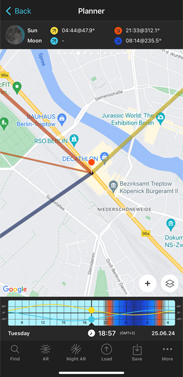
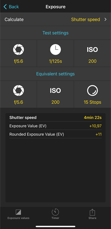
A special feature is the ability to plan with the help of an AR viewfinder. The phone’s camera can be used to seamlessly integrate information about the sun, moon, or Milky Way into a simulated scene, with their positions in the frame previewed at any given time. This feature is especially useful when one of these celestial objects needs to be integrated into the image.
Their extensive knowledge base is a great starting point for learning about the app and its features.
Google Earth
Even after many years, Google Earth still provides an accessible platform for location scouting, both on desktop devices, as well as a web application. Using satellite imagery combined with 3D models and parallax methods, it is able to provide precise, relevant map data for terrain and urban environments. This software is ideal for surveying potential aerial subjects, calculating distances and offering an overview of a specific scene. It takes some time (a couple of months) for the satellite imagery to be updated, so very new construction projects won’t be readily available to scout.
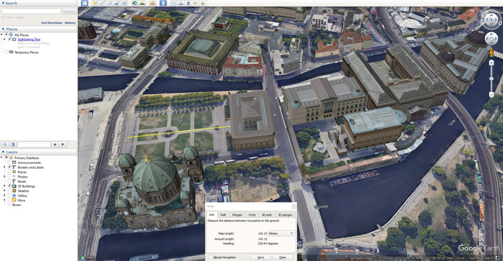
When it comes to measuring distances, it manages to integrate terrain and elevation data into its calculations and to set up specific perimeters for scouting. It even allows the import of other map data as an overlay and features a rudimentary sunlight simulator.
As a quick alternative, the satellite view in Google Maps can also be used, even though Google Earth provides faster and broader data.
Stellarium
A free and open-source software, Stellarium is a well established tool for astronomy observations and nighttime photography. It can be best described as a virtual planetarium and research tool, is available on all desktop platforms as well as mobile devices and benefits from an active community of developers.
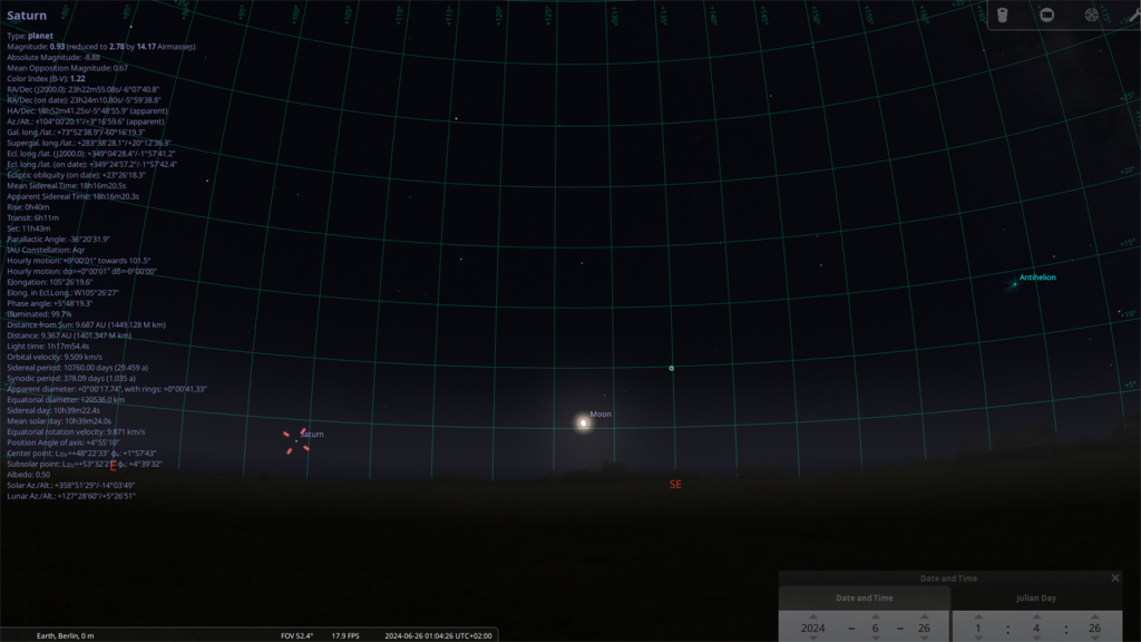
Planning a nocturnal photo shoot may seem difficult at first, but this software simplifies the process. Its controls allow it to display the evolution of the night sky regardless of time or location. Additionally, its numerous plugins can simulate the field of view for various camera and lens combinations (even telescopes) or display the accurate point of origin, magnitude and direction of meteor showers. It contains an up-to-date index of celestial objects and satellites, making it the most flexible solution when it comes to astrophotography.
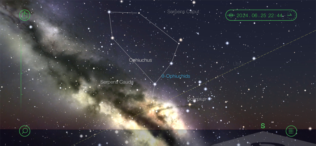
For mobile users, StarWalk (Android version here) provides a portable solution for stargazing fans. It is especially easy to set up specific photographic compositions, thanks to its integration of smooth gyroscopic controls and AR technology. Its SkyLive module displays relevant information about the sun, moon and most visible four planets on a daily basis and its calendar keeps track of all upcoming astronomy events.
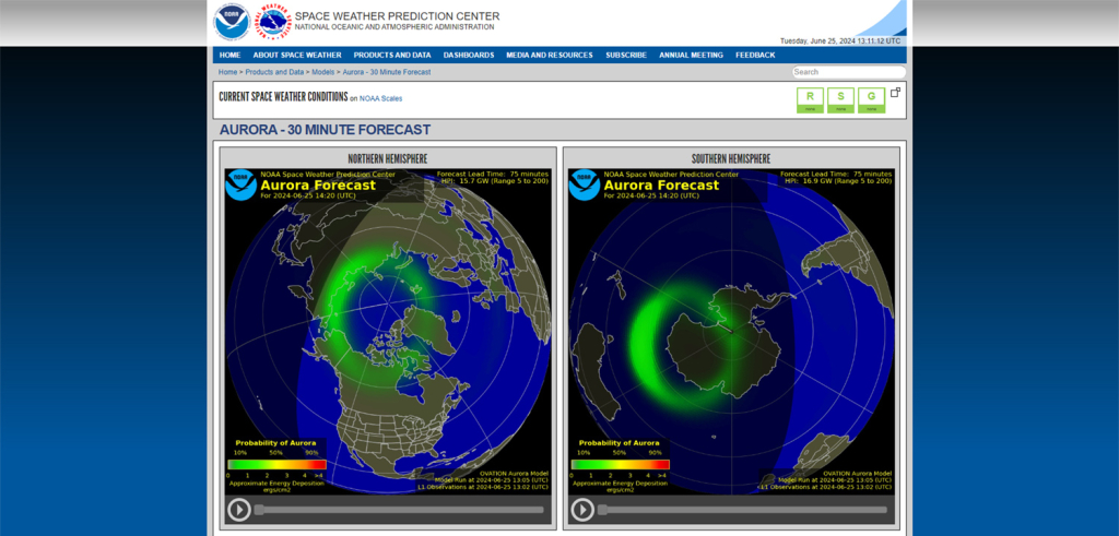
For space weather enthusiasts, NOAA Aurora Forecast is a service that can be used for checking if and where aurorae are being expected.
Windy
With its interface based around numerous layers, Windy offers a complete overview of available atmospheric conditions. It is able to display current cloud cover, wind direction, visibility, dew point, UV index and much more. Worldwide forecasts for all data sets are also available.
Whether for keeping safe during outdoor activities or hoping to capture storm activity, Blitzortung provides a worldwide active monitor of all occurring lightning.